
01
Uneven or sloping floors
A floor that feels different underfoot may call for measurements and a closer look at the foundation system.
Learn what to look for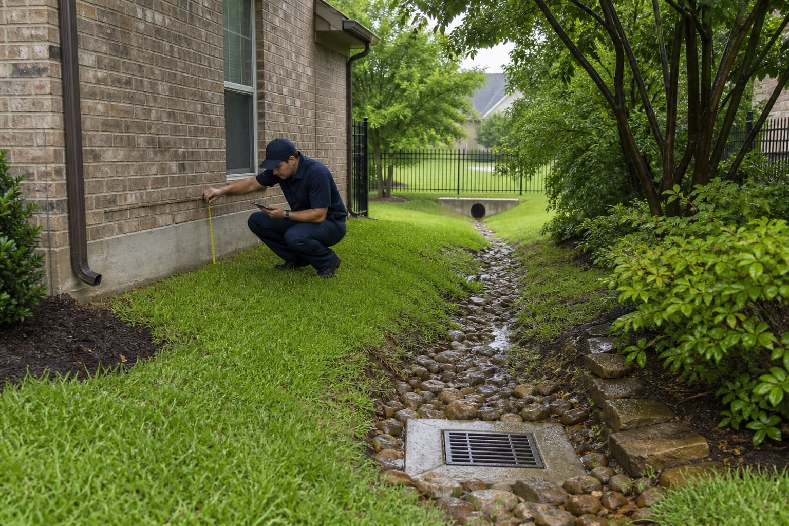
Denton County
Foundation repair planning for Lewisville homes relates cracks, opening changes, and floor measurements to slab construction, drainage paths, roof discharge, plumbing indicators, additions, and access before a property-specific recommendation is made.
Free contractor inspections consider measurements, foundation type, drainage, plumbing indicators, construction, access, and site conditions before next steps are discussed.
Lewisville is part of the Denton County & Northwest DFW service area.
Explore foundation services throughout Denton County & Northwest DFWKnow what to watch for
A single change does not confirm that a Lewisville property needs foundation repair. An inspection can compare what you have noticed with measurements, the foundation system, drainage, and surrounding conditions.
Read the foundation warning-sign guide01
A floor that feels different underfoot may call for measurements and a closer look at the foundation system.
Learn what to look for02
Separation near doors, windows, cabinets, or trim can be compared with other changes around the property.
03
Changes where brick, siding, walls, or rooflines meet may be useful clues during an exterior review.
04
Standing water, poor runoff, or concentrated discharge can affect conditions near a foundation and should be evaluated.
Learn what to look for05
New, widening, or recurring cracks are worth documenting. Their location and pattern can help guide an inspection.
Learn what to look for06
Openings that suddenly drag, bind, or no longer latch can be reviewed alongside floor and wall conditions.
Learn what to look forA practical first step
Cracks, uneven floors, and sticking doors can have different causes. Start with a free foundation inspection so the conditions at your Lewisville property can be evaluated together.
Foundation and property solutions
Available options include inspection, structural support, leveling, drainage, and concrete services. The appropriate starting point depends on the foundation system and what is observed at the property.
Property-specific review
Lewisville properties can connect private drainage to shared routes beyond fences, green spaces, or mixed-use paving. The inspection keeps the focus on the individual lot by comparing structural measurements with historic alterations, retaining features, irrigation, storm records, and the visible route to discharge.
Floor readings, cracks, opening behavior, raised-floor areas, additions, and exterior changes are compared to distinguish original support conditions from later modifications.
Inspection of foundation changes over timeRoof runoff, rear grades, fence crossings, retaining transitions, irrigation, low areas, and downstream shared features are traced without assuming lake geography determines site conditions.
Drainage correction for connected routesDriveways, parking, walks, mixed-use hardscape, utilities, and limited observation points are noted because they can redirect flow or constrain additional investigation.
Straightforward help
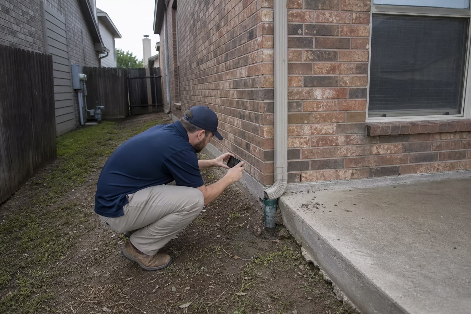
Foundation concerns rarely fit a one-size-fits-all answer. We focus on making the inspection findings and available choices easier to understand.
We explain what we observed, what it may mean, and which next steps fit the property.
The right direction may involve structural support, leveling, drainage, concrete work, monitoring, or additional evaluation.
We evaluate concerns involving both major residential foundation systems found across Dallas-Fort Worth.
Foundation inspection and repair services are available throughout the Dallas-Fort Worth Metroplex.
Simple from the start
Tell us what you have noticed and choose a time to evaluate the property.
We review visible warning signs, measurements, foundation type, drainage, and other relevant conditions.
We explain the findings and discuss whether repair, leveling, drainage, additional evaluation, or monitoring makes sense.
Lewisville lake, infill, and planned-community context
Foundation repair in Lewisville begins by testing the visible pattern against the lot and building. Cracks, floor levels, openings, foundation type, roof runoff, side-yard drainage, grading, plumbing indicators, hardscape, and additions are reviewed before a structural or water-management recommendation.
Foundation concerns in Lewisville can arise in very different settings. An older home near Old Town may have mature landscaping, additions, or raised-floor components, while a Castle Hills residence may connect to planned swales, common drainage features, and broad areas of paving. Properties closer to Lewisville Lake add elevation and outlet questions without supporting a diagnosis by location alone.
The inspection starts inside the building with reported changes and elevation patterns. Exterior observations then follow grading, roof discharge, retaining details, flatwork, utilities, and the visible downstream route. That sequence helps separate foundation movement from drainage, concrete, framing, or alteration issues that may need different next steps.
Lewisville neighborhood context
Conditions can vary between nearby streets and neighboring lots, so area context helps frame useful inspection questions without determining what is happening at one property.
A Denton County city with an historic core, established neighborhoods, lake-oriented areas, mixed-use redevelopment, Castle Hills, and commercial corridors along Interstate 35E and State Highway 121.
Older residential blocks and redevelopment can combine raised floors, early slabs, additions, alley access, mature trees, and changing lot coverage.
Lots near lake-oriented roads may include rolling grades, wooded edges, retaining features, and drainage routes that continue beyond the property.
Planned residential areas can contain larger roofs, structured swales, common landscape features, pools, and varied relationships between private and shared drainage.
Attached housing, mixed-use development, offices, and commercial sites require different access, measurement, paving, and occupancy considerations.
Lewisville property context
The relevance of each condition depends on the building, measurements, drainage, grading, and changes observed at the property.
A visible swale or inlet may connect to common infrastructure, but its ownership, condition, and downstream performance cannot be assumed from one yard.
Floor changes near additions, enclosed porches, or mixed foundation systems should be mapped separately from the original structure.
Walls, raised beds, edging, and berms can redirect shallow runoff or hold moisture depending on elevation and outlet details.
Parking, sidewalks, drives, and roofs can concentrate stormwater near low points while also showing movement independent of the building.
Soil, water, and weather
Dry weather, heavy rain, runoff, leaks, and landscaping can influence a property differently depending on its construction and lot.
Regional setting can guide inspection questions, but property-specific conclusions require observations and any testing justified by those findings.
Private downspouts and swales may connect to common or public systems, so a practical correction depends on the complete lawful route.
Coverage, leaks, seasonal settings, and landscape needs may produce wet and dry zones that should be compared with movement observations.
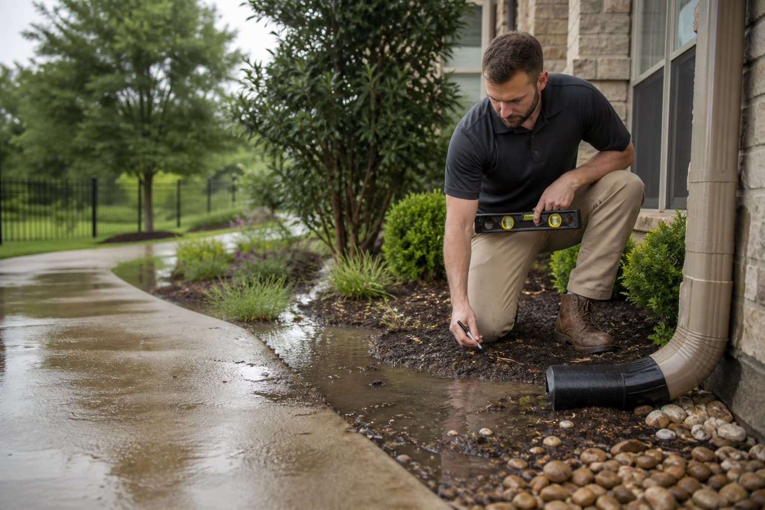
Photos of ponding, overflow, erosion, or inlet performance can preserve conditions that are not visible during the scheduled visit.
Helpful next steps
Continue with a relevant service, learn more about common foundation concerns, or view service coverage in nearby DFW communities.
Related services
Local questions
These answers provide general context. A free contractor inspection can evaluate conditions at an individual property; engineering, plumbing, or other third-party services may be separate when needed.
Not based on location alone. Foundation type, movement pattern, site elevation, drainage, access, and any necessary specialist findings determine which options are relevant.
The visible private connection and adjacent route can be observed. Evaluating common infrastructure may require additional access, records, or coordination outside the inspection scope.
Yes. Accessible framing, supports, ventilation, moisture, utilities, additions, and crawlspace safety add questions that differ from a slab inspection.
When safe, document water near the foundation, overflowing gutters, ponding, erosion, inlets, swales, and the point where runoff leaves or stops on the property.
Yes. Access, slope, utilities, fence lines, collection points, and discharge options determine which corrections are feasible.
Localized signs still require comparison with the rest of the structure, nearby drainage, plumbing, trees, additions, and construction details before the cause is assigned.
Lewisville free inspection request
Share the foundation type, visible changes, lot elevation, known drainage route, and any lake-area, shared-system, addition, or access considerations.